To develop the evacuation time estimates (ETE) for the 10‐mile radius Emergency Planning Zone (EPZ) surrounding the Shearon Harris Nuclear Power Plant (Harris). ETE are required by the Nuclear Regulatory Commission (NRC) and are referenced by the offsite response organizations (OROs), such as county and state emergency management agencies, to assess whether evacuation or shelter‐in‐place is the better protective action.
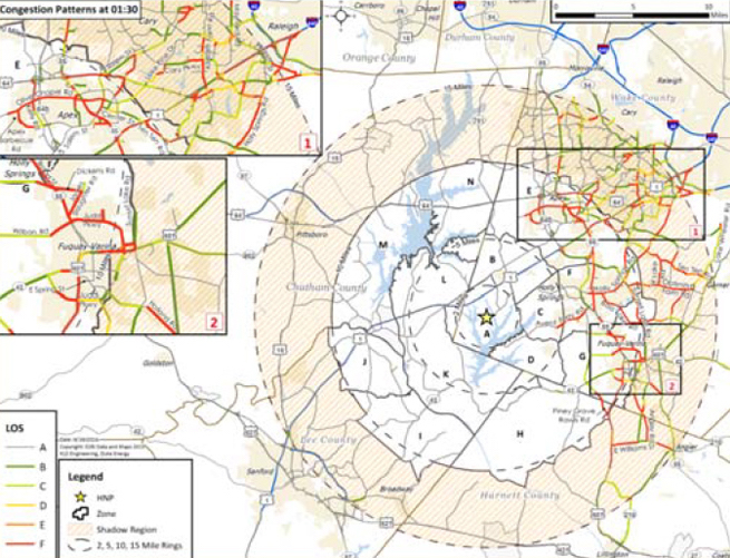
KLD used an enhanced suite of evacuation models to develop the Harris ETE. The roadways within the study area (approximately 15 miles radially from Harris) were surveyed and used to generate a computerized representation of the roadway network in an interactive data entry software system called UNITES.
An extensive data collection process to assess the number of people living, working, and recreating within the EPZ was conducted. Data collection included, analysis of Census data, telephone surveys of the public, site visits to critical facilities (schools, medical facilities, etc.) to assess parking capacity and traffic flow, and use of aerial imagery. All data gathered was managed using GIS software and geodatabases. A macroscopic traffic simulation model designed for evacuation environments (DYNEVII) was used to simulate evacuation conditions for hundreds of varying scenarios. The results of these simulations were fed into the GIS‐based evacuation animation software (EVAN) to develop traffic control and mitigation measures.
Presentations of findings were presented to high‐ranking nuclear officials, emergency planners, and local stakeholders.